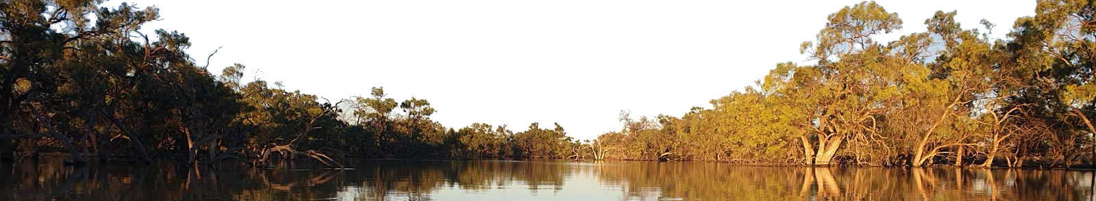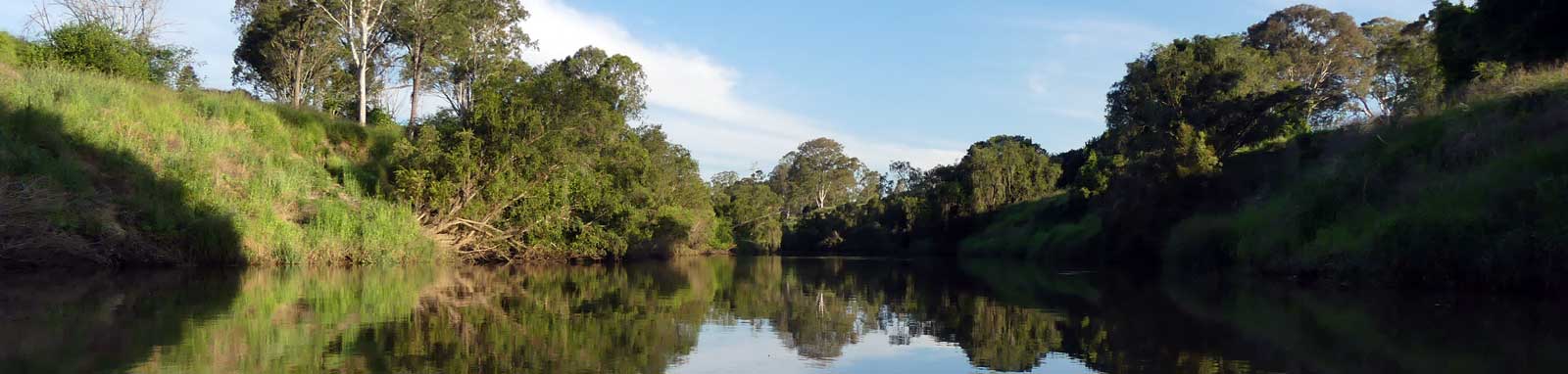
Albert River
| Location * | Features † | Tides ‡ | Distance | Total | |||
| Low | High | ||||||
| Mouth | 1:19 | 0:42 | 0.0 km | ||||
| R | Paterson Rd Boat Ramp, Yatala | 0.0 km | 0.0 km | ||||
| L | Albert River Park Pontoon | 0.0 km | 0.0 km | ||||
| Alan Wilke Bridge | 2:17 | 1:32 | 0.0 km | 0.0 km | |||
* Side represents either the left / port (L) or right / starboard (R) sides when facing downstream.
† Most of the features were taken from Logan
or Gold Coast City Council pages.
‡ Tide times are offset from the river mouth (27° 41' 38.4" S, 153° 20' 48.1" E)
that are in turn offset by
BoM tide tables.
§ Distances have been manually calculated from the river mouth.
- Canungra Creek
- Five bridges, Henry Hester Rd Bridge, Pacific Mwy Dual Bridge, Rail bridge and Martens Street Bridge
- Cycle bridge
- Stanmore Road Bridge and rest area bridge
- Boat Ramp
- Kayak Ramp or Path